pypi_packages: datasette-leaflet-geojson
This data as json
| name | summary | classifiers | description | author | author_email | description_content_type | home_page | keywords | license | maintainer | maintainer_email | package_url | platform | project_url | project_urls | release_url | requires_dist | requires_python | version | yanked | yanked_reason |
|---|---|---|---|---|---|---|---|---|---|---|---|---|---|---|---|---|---|---|---|---|---|
| datasette-leaflet-geojson | A Datasette plugin that renders GeoJSON columns using Leaflet | [] | # datasette-leaflet-geojson [](https://pypi.org/project/datasette-leaflet-geojson/) [](https://github.com/simonw/datasette-leaflet-geojson/releases) [](https://github.com/simonw/datasette-leaflet-geojson/actions?query=workflow%3ATest) [](https://github.com/simonw/datasette-leaflet-geojson/blob/main/LICENSE) Datasette plugin that replaces any GeoJSON column values with a Leaflet map ## Installation Install this plugin in the same environment as Datasette. $ datasette install datasette-leaflet-geojson ## Usage Any columns containing valid GeoJSON strings will have their contents replaced with a Leaflet map when they are displayed in the Datasette interface. ## Demo You can try this plugin out at https://calands.datasettes.com/calands/superunits_with_maps?MNG_AGENCY=Palo+Alto%2C+City+of 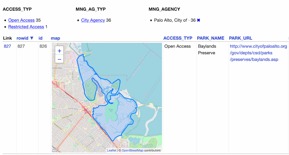 ## Configuration By default this plugin displays maps for the first ten rows, and shows a "Click to load map" prompt for rows past the first ten. You can change this limit using the `default_maps_to_load` plugin configuration setting. Add this to your `metadata.json`: ```json { "plugins": { "datasette-leaflet-geojson": { "default_maps_to_load": 20 } } } ``` Then run Datasette with `datasette mydb.db -m metadata.json`. | Simon Willison | text/markdown | https://github.com/simonw/datasette-leaflet-geojson | Apache License, Version 2.0 | https://pypi.org/project/datasette-leaflet-geojson/ | https://pypi.org/project/datasette-leaflet-geojson/ | {"Homepage": "https://github.com/simonw/datasette-leaflet-geojson"} | https://pypi.org/project/datasette-leaflet-geojson/0.8/ | ["datasette (>=0.54)", "datasette-leaflet (>=0.2)", "pytest ; extra == 'test'", "pytest-asyncio ; extra == 'test'"] | 0.8 | 0 |